
MyBlueTraker – web based monitoring software which processes and displays your data on the map and generates reports about your leisure fleet or boat..
mybluetraker基于Web的軟件過程監控和顯示您的數據在地圖上生成報告你的休閑船隊或船。
MyBlueTraker provides immediate visual access to the position of your fleet. The display shows the fleets’ current position, as well as a 30-hour history and 15-day track of each ship’s movements. .
mybluetraker提供即時的視覺訪問你的艦隊的位置。顯示艦隊的當前位置,以及一個30小時的歷史和15天跟蹤每船的運動。。
MyBlueTraker automatically gathers and displays the ship name, call sign, UTC date time, exact latitude longitude, heading, and speed in a basic graphical interface that is accessible from any Internet enabled computer..
mybluetraker自動收集和顯示船名,呼號,UTC日期和時間,精確的經緯度,航向,在那是可以從任何互聯網的一個最基本的圖形界面速度啟動電腦。
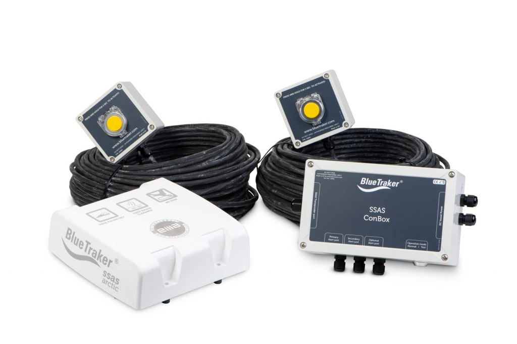
It supports service as e-mail/SMS alerts for sensors and Private Distress Call, Position Poll, setting Geo-cones, Report Interval Changing, High Resolution Data and distance measurement.
它支持服務電子郵件/短信報警傳感器和私人的求救電話,地位的民意調查,設置地錐,報告時間間隔的變化,高分辨率數據和距離測量。
Related posts